Fishing & Canoeing
Fly Fishing & Online Fishing Report
Trout Ponds & Farms
Public River Access
Canoe Rentals
Local Swimming Holes in Shenandoah County
The Shenandoah River is one of the few rivers that flow from south to north. Shenandoah County’s North Fork, is excellent to explore by canoe, kayak & by wading. Crystal clear water, charming views, and plentiful wildlife make the North Fork a water sport enthusiast’s paradise.
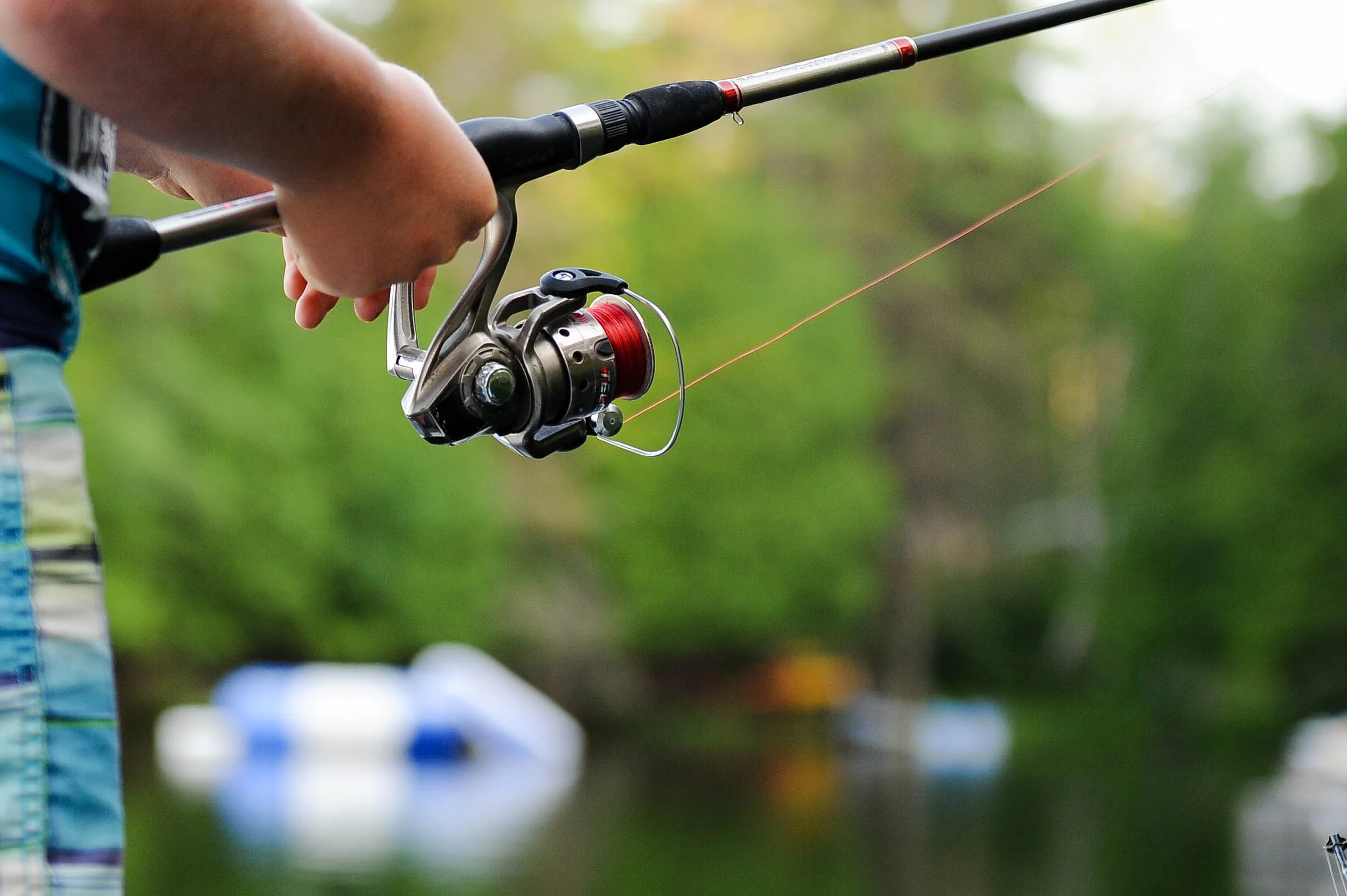
Fly Fishing & Online Fishing Report
MURRAYS FLY SHOP & FLY FISHING SCHOOL
Mid-April through Mid-November are prime time for smallmount bass fly fishing on the Shenandoah River. The Virginia Fly Fishing Report for Smallmouth Bass on the North & South Forks of the Shenandoah River is updated weekly throughout the season. Check river conditions before venturing out!
Trout pond Recreation Area & trout farm
Cast your line at Trout Pond Recreation Area’s only natural lake in West Virginia and the home to native Brook Trout or plan a visit to Shenandoah County fish hatchery & stocked trout farm at Orndorff’s Rainbow Trout Farm, just 10.5 miles from Bally Brook.
Public River Access
WOODSTOCK
Hollingsworth Road – Located east of the Town of Woodstock, there is a small gravel lot at the elbow in the road just before Rte 609 (Hollingsworth Road) turns to cross the North Fork.
Seven Bends State Park – Located on Lupton Road. From Woodstock, follow Reservoir Rd. (Rt 42) east past Rt 11. Turn left on Water St then turn right on Hollingsworth Rd. to Lupton Rd. Put-in at the low water bridge at the end of Lupton Rd (cement boat ramp). This is ideal for those putting in at the Hollingsworth side of Seven Bends State Park.
STRASBURG
Deer Rapids – Located 3 miles south of Strasburg off Rte 644 (Funk Road). This low water bridge provides an easy put-in or take-out via a gravel boat ramp. A great launch point to float to the Strasburg Town Park just 5.6 miles downstream.
Strasburg Town Park – Concrete boat launch suitable for kayaks, canoes and shallow aluminum boats. This is a very family friendly access point for people with children. Huge gravel parking lot with port-a-johns next to the river. Also an excellent location for redbreast sunfish and smallmouth bass fishing.
EDINBURG
Red Banks Road – Parking is on the corner between the river and Rte 11 off north of the bridge on Red Banks Rd between Edinburg and Mount Jackson.
Chapman Landing Road – Located just downstream of Edinburg. A popular access point for wade-fishermen and boaters. This site offers parking in a flat gravel lot along with a concrete boat ramp.
Canoe, kayak & tube the Shenandoah
Just a short drive from the farm is Shenandoah River Adventures that offers trips for all levels from beginner to expert. Explore the Shenandoah from your choice of canoe, kayak or tube & they offer fishing tours as well! The memories you will take home from exploring the Shenandoah from the river will last a lifetime!
Local Swimming Holes
Blue Hole - This is a traditional “Blue Hole”, even marked as such on USGS and other maps. To get here, on RT 678, about 2 miles south of the RT 55 intersection, there is a small dirt pull-off on the left side of the road. If you look toward the creek, you will probably see a long swinging rope hanging from a tree on the far side of the creek. Park and walk to a deep place in the creek.
Buzzard Rock Hole - This is a great swimming hole in Passage Creek. Continue south on RT 678 and park at the SECOND paved parking area on the right (about 2.5 miles from RT 55 or 1.3 miles from RT 619, the fish hatchery road.) Walk back along the road (north) until you get around the bend in the road (about .25 mile). Here, in Passage Creek, you will see a very large, flat rock sloping down to the creek. There is a deep swimming hole and small rapids to play in. THERE ARE HIDDEN ROCKS IN THIS HOLE, DO NOT JUMP unless you can see clearly.
Elizabeth Furnace - Further south on RT 678 you will see signs for the Elizabeth Furnace Rec. Area. Turn into the area signed “Day Use Picnic Area”. There is a place to play in the creek right at the bridge to the picnic area but not quite deep enough to swim. Go all the way to the rear of the lot, right hand side (south) and follow a path that roughly follows the creek south until you get to a clear place on the river bank that is across the creek from the campgrounds. There is a small deep place at the bottom of a gentle rapid that is just big enough and deep enough to swim.
Hiking & Biking / Eat-Um-Ups / Vineyards & Wineries / Fishing & Canoeing / Agri-Explore / Shenandoah County